


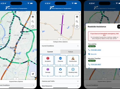
The Texas Department of Transportation recently introduced a new mobile navigation application called “DriveTexas” – now available to download on Apple and Google devices – to help motorists plan driving routes during emergency situations and for daily travel around construction, traffic, and road closures alike.
[Above image via TxDOT]
The agency said in a statement that this new mobile app brings together critical roadway and travel information on one easy-to-use platform that is updated by TxDOT work crews in real-time.
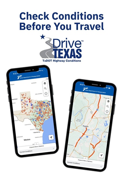
TxDOT said the new mobile app delivers:
- Real-time roadway intelligence regarding traffic conditions, construction activity, crashes, and road closures across the state.
- Live camera access for thousands of real-time views of roadway conditions prior to travel.
- Emergency readiness tools for quick access to evacuation routes and planning during severe weather and critical events.
- Fast access to rest areas, travel information centers, and a brand new TxDOT roadside assistance feature. While within the service area of TxDOT roadside assistance, the app will provide the correct local phone number, making it easy to call for assistance.
- Smart mapping and search function for routes to any Texas destination or point of interest.
The agency noted that this mobile app represents “another step forward” in leveraging technology to strengthen TxDOT’s response capabilities, improve communication, and enhance the traveler experience across Texas.
Other state departments of transportation have also made recent upgrades to the navigation services they offer to the motoring public and freight operators alike.
For example, the North Carolina Department of Transportation launched an improved version of its traveler information website in May; replacing the software platform behind its “DriveNC.gov” website to provide new features for the public and other enhancements for the NCDOT employees operating it.
New DriveNC.org features include the ability to create specific email alerts for traffic disruptions on any customized route or area; the ability to view messages currently displayed on overhead digital highway signs; the ability to watch live video from 1,100 highway traffic cameras; and the option to download a free app, called “DriveNC” for iPhones or Android devices.
Meanwhile, the Colorado Department of Transportation made two major updates to its “COtrip” platforms. The first enables motorists to find out about traffic impacts or closures along their favorite routes by enabling push notifications – meaning they do not need to open the COtrip Planner mobile application. The second upgrade expanded language support on COtrip.org to make Colorado’s road and travel information more accessible for all motorists, the agency said.
 States
NY Bridge Named for Worker Killed in Work Zone Crash
August 14, 2026 States
