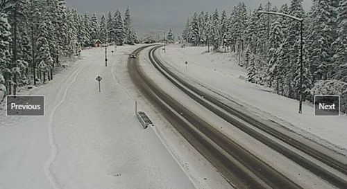
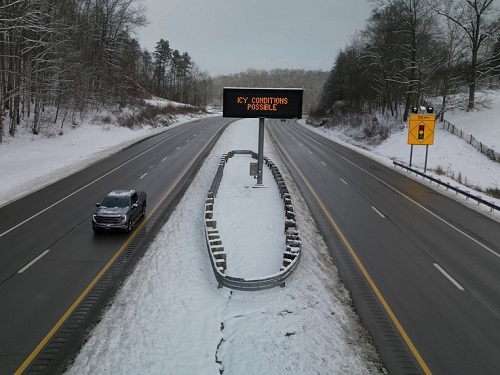
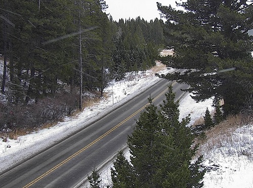
The Montana Department of Transportation recently added 20 new Road Weather Information System or RWIS sites to help provide a broader scope of real-time weather and road condition information to travelers using the state’s roadway network.
[Above photo by Montana DOT]
The new sites are in the agency’s Missoula, Glendive, and Butte districts, with seven more RWIS sites for the Billings district and six more RWIS sites for the Great Falls district slated to go live in 2025. Altogether, those 20 new sites have expanded Montana DOT’s RWIS network to nearly 100 locations across the state, the agency said.

“We are always striving to increase the information available to the public about highway and weather conditions,” said Jon Swartz, maintenance division administrator for the Montana DOT, in a statement. “This is especially important for winter travel.”
Some of the weather data recorded by RWIS sites are roadway surface temperature, precipitation, and wind speed. The sites also have cameras that show new images every 15 minutes during daylight hours so motorists can view pavement conditions for themselves prior to travel.
The agency pointed out that its maintenance crews use RWIS real-time data to help make decisions on personnel and equipment scheduling; improving response time during storms and helping increase overall winter operation efficiency.
“Road condition information is vital to drivers and to [our] winter maintenance efforts, so we are looking forward to having more sites this season,” Swartz added.
Other state departments of transportation have been making similar RWIS network expansions as well.
For example, in October, the West Virginia Department of Transportation awarded a $4.7 million contract to Specialty Groups Inc. to upgrade and install several new RWIS stations along state roadways; expanding its total RWIS network to 40 units.

WVDOT noted that data collected by its RWIS stations is also provided to third parties, such as the National Weather Service, for weather monitoring and forecasting purposes.
“RWIS is an excellent example of how the WVDOT can utilize technology to have instant access to information about local conditions to make decisions that will result in more effective management of the roadway system and provide important and timely information to motorists,” explained Ted Whitmore, director of the WVDOT’s Traffic Engineering Division.
The agency noted that an estimated 5,000 people die every year due to adverse weather conditions on the nation’s highways, with about 418,000 people injured each year due to weather-related crashes. RWIS technology can help reduce these numbers by warning the WVDOT and drivers about dangerous road conditions in real-time, Whitmore stressed.
 States
NCDOT Staff Participate in ‘Explosive’ Technical Training
December 19, 2025 States

