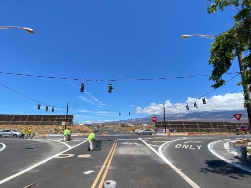
The Hawaii Department of Transportation recently launched a new pilot program with i-Probe Inc. to test connected automobile hardware and software technologies.
[Above photo by Hawaii DOT]
The program takes data collected by i-Probe and compares it with data already compiled by Hawaii DOT to validate transportation related trends, helping plan road maintenance and highway improvements.
Via this new pilot test, i-Probe Road sensors will gather data on “road deformities” such as potholes, then transmit that information via the cloud in real time allowing both state and local road agencies to quickly gain insight into road conditions and pinpoint areas requiring maintenance – saving significant time and resources.

“This pilot represents an opportunity for our daily drives to feed straight back into a system for improvement,” noted Governor David Ige (D) in a statement.
“Through the operation of the customized inspection vehicle, Hawaii DOT will be able to quickly gather information on the rideability of our roads in a way that was not possible even a couple of years ago,” he said
“[This] customized inspection [technology] will make it easy and unobtrusive to collect the rideability data that we report to the Federal Highways Administration,” added Hawaii DOT Director Jade Butay.

“We’re looking forward to testing and validating the data and the possibilities for improving the way we maintain state highways this opens up,” he said.
“We are very proud of our new partnership with Hawaii DOT,” noted Masamichi Watanabe, i-Probe’s president and CEO. “By testing our technology in real world environments, we hope that very soon our innovation will contribute to reviving road infrastructure for safe and smooth driving in Hawaii and the United States.”
Several other state departments of transportation are involved in similar road data projects.
For example, in November 2021, the Southwest Research Institute or SwRI initiated an $8 million project to develop a data exchange platform for the Florida Department of Transportation, allowing the agency to analyze and communicate road conditions in real-time to the traveling public, state and local government entities, plus other stakeholders.
In addition to real-time analysis, SwRI’s platform will also support analysis of long-term historic data enabling data-driven infrastructure investments and various research initiatives.

 States