


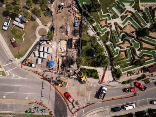
A session at the American Association of State Highway and Transportation Officials 2026 Safety Summit in Hartford, CT, discussed the integration of land-use perspectives into the roadway planning process.
[Above photo by AASHTO]
Amy Whitfield, special director for the New Mexico Department of Transportation, moderated that session – entitled “Tools for Land-Use/Transportation Integration and Planning” – and said it aimed to “highlight the ways that state departments of transportation and local agencies can account for land use in the planning, designing, and operating of roadways,” along with the relationship of land-use planning to transportation safety.
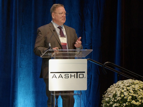
The session’s panel featured Jennifer Musselman, associate engineer with Kittelson & Associates; Jacqueline Morris, publication coordinator for the Florida Department of Transportation; Nicole Waldheim, principal of Fehr & Peers; and John Milton, director of transportation safety and systems analysis for the Washington State Department of Transportation.
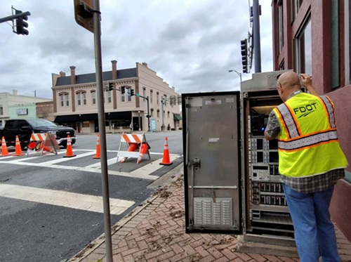
Musselman stressed that “context” is a critical component in the linkage between land-use and roadway planning. “Context can tell us a lot about who is using the roadways in that area, how they expect to move around, what types of facilities and amenities are going to make them most successful and safest in doing so,” she explained.
Musselman said roadway use “context” is typically divided into five separate categories. First, “rural” is split into rural areas and rural towns – “An acknowledgement of the small communities our state highways often pass through,” she stressed – and then divides “urban” into three categories: suburban, urban, and urban core.
“So now it is about states taking those five contexts and adapting them to their own needs and their own unique places within their borders,” Musselman noted. “Yet, even as states are tweaking these contexts – even adding some where they need to – they generally all map back to those five context classifications. And that in turn is creating this ‘shared language’ across state DOTs to inform our design decisions.”
In real terms, for example, that means things such as cross-mapping high-crash locations to specific land-use areas, such as gas stations, grocery stores, and corner stores.
Thus, “context allows us to plan and program our resources to focus on the areas that have the highest potential to improve safety; likewise identifying what countermeasures are going to be most successful in specific places,” Musselman said. “So, if we’re looking at lane departure crashes, the treatments in a rural context are going to be quite different than the treatments in the suburban context.”
It also hopefully helps deliver “fewer surprises” as transportation projects reach the design and construction phases, she noted. “It prevents getting to the end [of a project] and discovering ‘Oh, we’d really love a sidewalk here,’ or ‘it would be great to have a crossing here,’” Musselman emphasized. “And at that point it’s either too late or it’s immensely costly to go back and redesign the project or maybe rebuild something that’s already been constructed.”
That’s why Florida DOT’s Morris emphasized that knowing the context classification helps planners, designers, and engineers reach a common understanding of modal priorities.
“But those can vary, too,” she said. “Take transit in our C2 [classification context], which is our rural landscape. So, we know it is going to look very different than if we’re providing transit in an urban area. The same goes for cycling.”
And those differences are not just rural and urban; there are state- and local-level differences as well, Morris noted.
“We have 67 counties in Florida, and I think 144 cities,” Morris noted. “That’s a lot of areas, right? And each has their own unique [roadway] needs, which are a mix of urban, rural, and suburban areas. But that also means they have a mix of common challenges. And so we came up with a data layer that all local agencies can use to start the conversation. This gives us great opportunity to have that common dialog with our local communities.”
Fehr’s Waldheim noted that this is why the concept of “land use” is changing and being integrated into transportation more closely. “How close people choose to live near what they need, how far they have to drive, how fast the road around them is – that’s land use,” she stressed. “And state DOTs really have an influence over all of these things.”
For example, take the development of a new housing complex; an area where typically more people will be driving in and out of as a result. “What are the typical solutions that follow? Maybe we’ve got to widen a lane or add a turn lane. Maybe we need to add a new signal or a new intersection,” she explained. “So we’re thinking about enhancing capacity.”
Yet, in the context classification process, that extra capacity can create safety challenges: creating more exposure for pedestrians or bicycles in spaces that could interact with vehicles – and maybe more chances for a severe crash to occur.
“So what if we flip the script and instead we say, ‘how much driving will this development cause in the first place and how can we reduce that number? Our mindset is now, ‘how can we think about walking distance to homes or jobs? Do we need sidewalks? Do we need lights at these locations?’ And again, state DOTs can influence these decisions because developments that are on or adjacent to state roads, you do have a lot of say and you also have access and development standards which can get updated,” Waldheim noted.
WSDOT’s Milton said the key piece to all of this is not just integrating land use within the transportation planning process but with the “Safe System” approach as well.
“The philosophy is to make sure that, whatever you’re doing [as state DOTs], you’re bringing it across planning, design, operation, maintenance and into safety,” he stressed. “If you fail to do that in a system, you’ll fail across the entire system.”
Milton pointed out that WSDOT does not control land use in Washington State; rather, it is a “receiver” of land use decisions. But integrating land-use with transportation planning “helps us start a dialog with our communities and our partners about the decisions they’re making in terms of effects on exposure likelihood and severity [to crashes]. Who pays that price? That price is paid by the people who are walking, biking, and in vehicles on that system that is not being accounted for. So safer land use is really critical to us.”
He stressed, then, that state DOTs should think about land use in terms of “access control.”
“While we do not control the decisions about land use, we do control access to the facilities,” Milton said. “So think about what conflicts are now going to be occurring on the system, the speed at which those contexts are going to occur, and the completeness of the road system in terms of gaps in the system. Every one of those things becomes part of the decision-making that you have to go through. And so if you have land usage that doesn’t consider multimodal use, you’re going to have issues.”
 Top Stories
AASHTO Safety Summit: Managing Speed with Technology
October 9, 2026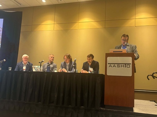 Top Stories
