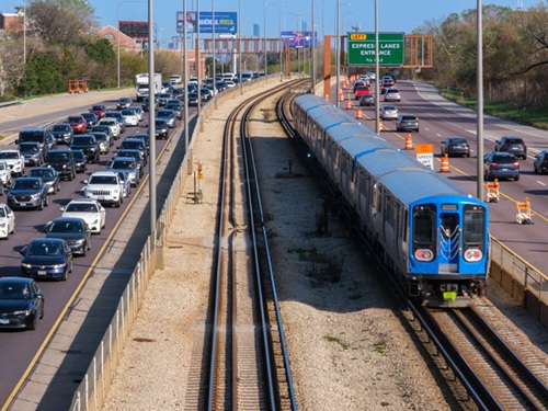
The University of Nevada-Reno and Velodyne Lidar recently published a whitepaper that highlights their joint research into using light detection and ranging or “LIDAR” sensors along roadways to improve traffic analytics, increase pedestrian safety, reduce accidents, and provide navigation support for autonomous vehicles.
[Above photo by the University of Nevada-Reno.]
The white paper – entitled Roadside Lidar Helping to Build Smart and Safe Transportation Infrastructure and available for download here – is the result of a more than three-year-long University of Nevada-Reno project that uses light detection and ranging or LIDAR sensors to make roadways “smart.”
Funding from Regional Transportation Commission of Washoe County, Regional Transportation Commission of Southern Nevada, the Nevada Department of Transportation, and the U.S. Department of Transportation’s University Transportation Center – among others – is helping the university expand LIDAR research efforts it is conducting along roadways in Reno, NV, and outside of Las Vegas.
The project is part of Intelligent Mobility: a multi-disciplinary research initiative coordinated through the university’s Nevada Center for Applied Research with support from a coalition of public and private partners, including Velodyne, to improve urban transportation systems.
“The white paper captures how LIDAR technology can be the catalyst for a revolutionary data change that will impact transportation planning and systems, and prepare our roadways for the future,” explained Carlos Cardillo, director of the Nevada Center for Applied Research, in a statement.

“Velodyne sensors are powering ‘LIDAR-enhanced’ roads that address roadway congestion monitoring and near-crash analysis,” he added. “They are also enabling data communications with connected vehicles to support eco-drive and collision avoidance applications.”
The broader use of roadway sensors and other transportation infrastructure-based technologies could also help cities better address the “pain points and inefficiencies” suffered by urban mobility systems due to the COVID-19 pandemic.
That is but one of the arguments discussed in a new report issued by global consulting firm Lux Research, entitled Mobility Innovations for Smarter Cities.

Lux’s report said that cities would need to increase investment in “infrastructure innovations” tied to intelligent transportation systems, as they will be critical to improving mobility by monitoring and controlling the flow of both vehicles and pedestrians.
“These increasingly complex environments have forced companies and municipalities to explore cost-effective, novel technologies that better manage the transportation of people and goods while improving safety, reducing congestion, and curbing vehicle emissions,” explained Chad Goldberg, a Lux Research associate and the report’s lead author, in a statement.
“Many municipalities consider this application low-hanging fruit and are aggressively targeting it to positively impact traffic flow,” he added. “Integrated sensors and software technologies can capture traffic data and analytics that inform both city officials and control signals.”
 Nation


