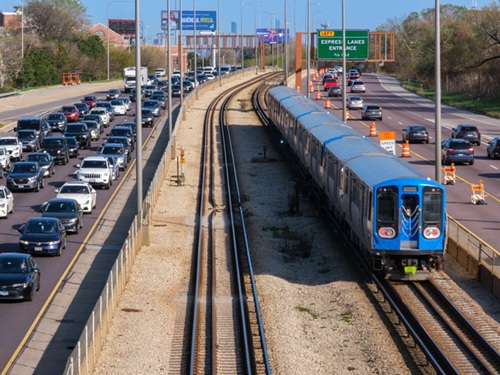
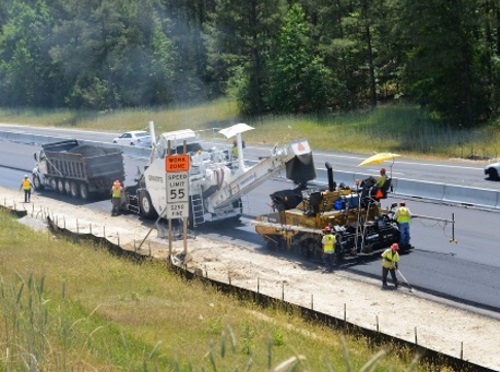
The U.S. Department of Transportation recently released version 4.0 of its Work Zone Data Exchange or WZDx specification, a data-sharing standard to help automated driving systems and human drivers navigate roadway work zones more safely.
[Above photo by the NCDOT]
Among other improvements, USDOT said in a statement that its version 4.0 “defines standards” for two new data feeds. The first transmits information to drivers and automated driving systems about traffic management devices in use at work zones, while the second transmits work-zone-specific lane closure and road restriction information.

The WZDx specification allows infrastructure owners and operators to make work zone data available with a common format and vocabulary for third party use. Bringing these feeds into vehicles will help drivers and automated driving systems anticipate work zone travel changes and proceed more safely, USDOT noted.
Several data producers and data users have started to set up data feeds based on WZDx, the agency noted. For example, the Federal Highway Administration approved the WZDx feed developed by one.network in January for deployment by transportation agencies or any industry stakeholder that needs accurate and timely work zone information.
Starting immediately, the company said it would create a WZDx feed for any American transportation agency that asks, free of charge.
“We believe in work zone information standardization for safety and efficiency and we’re putting our own equity behind it,” explained Adam Graham, one.network’s chief product officer, in a statement.
“In traffic management, sharing accurate and timely information with the widest possible audience is key,” he said. “We have the technology to build these feeds and set them up for an agency within days, saving agencies the cost and effort to create their own feeds from scratch.”
The North Carolina Department of Transportation began collaborating with one.network in early February to translate NCDOT’s work zone information into a WZDx standard.
“This improvement will lead to more timely updates for travelers using third-party map apps, making our work zones even safer,” explained Kelly Wells, NCDOT’s traveler information engineer who oversees the department’s DriveNC.gov website, in a statement – adding that there are currently about 300 work zones for NCDOT construction or maintenance projects across North Carolina.
“And while it may seem a long way off, this new functionality will be needed for us to better communicate with autonomous and connected vehicles in the future,” she pointed out.
 Nation


