



The New Jersey Department of Transportation said its Major Access Permits or “MAP” process for infrastructure projects will become fully electronic starting on July 30.
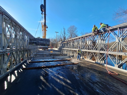
[Above photo by New Jersey DOT]
The agency said the last day paper MAP applications will be accepted is July 29, though paper applications already in process will continue to be reviewed as the shift to a fully electronic system applies to new submissions only.
Beginning on July 30, the agency said all infrastructure project applications, including two newly launched submission processes, must be submitted through the new MAP E-Permitting system at www.njdotepermits.net.
The two new submission types now available within the platform are a “Letter of No Interest” or “LONI” request, which seeks a determination by New Jersey DOT that a permit may not be required for proposed activity, and a “pre-application” meeting submission.
[Editor’s note: New Jersey DOT also recently announced that its Fiscal Year 2026 Capital Program is set to deliver more than $1.6 billion in construction contracts and consultant selections.]
With these additions, New Jersey DOT said the E-Permitting platform now supports the full range of MAP processes from initial inquiry through permit execution.
The all-digital MAP system also provides the agency better data and better control over that data, providing New Jersey DOT, for the first time, with a complete, structured record of access permit interactions – leading to a fully documented, trackable process that gives applicants real-time access to their submission status and provides New Jersey DOT with the data needed to measure and report on permitting performance.
“On my first day in office, I signed Executive Order 5 to ensure New Jersey’s permitting process is transparent, accountable, and works for the people it serves,” noted Governor Mikie Sherill (D) in a statement.

“By moving the MAP process fully online, the New Jersey DOT is creating a more efficient and predictable permitting process – saving both the department and applicants time and money while helping move projects forward more quickly,” she said.
“Moving the MAP process to a completely electronic platform will provide better reporting capabilities for NJDOT staff, making it easier and more efficient to process and track applications,” added Priya Jain, New Jersey DOT commissioner. “Through … the use of technology, we are modernizing our processes and making New Jersey DOT more responsive to our customers.”
Many state departments of transportation are investing in a wide array of new digital technologies for data management and other needs.
For example, the Kansas Department of Transportation and the Kansas Highway Patrol (KHP) recently launched the new Kansas Crash Data System; a modernized platform that will serve as the new statewide standard for law enforcement crash reporting starting on September 1.
“[This new] system streamlines crash reporting across the state,” Calvin Reed, secretary of the Kansas DOT, in a joint statement with KHP Superintendent Erik Smith in a joint statement. “It allows for automated verification, improved data quality and faster access to statewide safety data. Law enforcement officers and staff will save time, improve accuracy and have better data available for statewide safety analysis.”
Meanwhile, the North Carolina Department of Transportation recently unveiled a new interactive online tool called “Projects Near Me,” which allows residents to explore a digital map featuring a wide range of state transportation project data.
The new online map is searchable by address, making it easy to find projects near any location, and by project identification number in the State Transportation Improvement Program or STIP. It can also display projects by county or NCDOT Highway Division, the agency said.
Additional filters allow users to search the map by project type — aviation, bicycle and pedestrian, bridge and structure, ferry, highway, public transportation, rail, and other miscellaneous projects. The map can also display indicators for projects that are of high public interest, have public engagement, or are future projects, NCDOT noted.
 States
Oklahoma DOT Begins $408M Bridge Replacement Project
September 18, 2026 States
