The Nebraska Department of Transportation, in partnership with the University of Nebraska-Lincoln Raikes School Design Studio, recently launched a new “self-service” vehicle crash portal that, for the first time, will provide the public the opportunity to dynamically search for crash data anywhere in the state and create a map using that data.
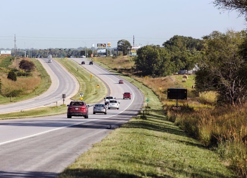
[Above photo by Nebraska DOT]
The agency noted that crash data available in the Nebraska Transportation Information Portal or NTIP previously required a public information request. Now, the NTIP will make that data freely available to the public as soon as the Nebraska DOT receives and processes that information.
The agency added that the NTIP allows users to search and filter crash data by parameters like date, location, crash severity, lighting condition, weather condition, and many more.
“By providing access to meaningful data, the public will be able to engage in conversations about safety in their community by looking right at the crash data,” explained Don Butler, highway safety engineer for the Nebraska DOT, in a statement.
“This collaboration with our partners at UNL resulted in improved tools that will aid in reducing the $5.5 billion in annual societal costs from crashes in Nebraska,” he said.
 States
NCDOT Staff Participate in ‘Explosive’ Technical Training
December 19, 2025 States

