
The Mississippi Department of Transportation recently took home a 2022 Digital States Survey Award in the transportation category for its use of light detection and ranging or LiDAR drone technology as part of its infrastructure project management processes.
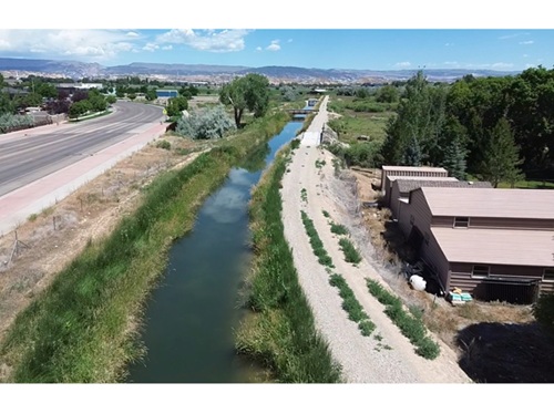
[Above photo by the Mississippi DOT]
This national award from the Center for Digital Government recognizes the exceptional use of technology to improve public service delivery, increase capacity, streamline operations, and attain state priorities.

Mississippi DOT noted in a statement that it originally purchased LiDAR-equipped drones several years ago to improve efficiency and safety in the construction and maintenance of road projects.
LiDAR technology helps determine ranges or distances by targeting an object with lasers and measuring the time for the reflected light to return to the receiver. That reflected light data, in turn, gets converted into distance measurements which help the agency’s infrastructure engineers create three dimensional models of project work areas.
More importantly, those LiDAR-equipped drones allow Mississippi DOT to survey land conditions and collect roadway characteristics in a much safer and faster way versus traditional surveying methods – especially by greatly reducing the time agency personnel spend working in the field or near moving traffic.
Mississippi DOT is one of several state departments of transportation working on a variety of drone-related efforts.

For example, the North Carolina Department of Transportation began testing a new “tethered drone” system in February 2022 in conjunction with the agency’s highway patrol service to improve safety on North Carolina roadways.
NCDOT’s incident management assistance patrol or IMAP and its Division of Aviation plan to test drones tethered to specific IMAP vehicles to help responders assess incidents, provide situational awareness to the agency’s Statewide Transportation Operations Center and Traffic Management Centers, and assist with overall traffic management of the incidents.
In July 2021, NCDOT also completed two successful delivery drone flights from Hatteras to Ocracoke Island. NCDOT’s Division of Aviation, in partnership with the NCDOT Ferry Division and U.S.-based drone logistics company Volansi, conducted two eight-mile round drone flights to deliver emergency supplies.
In December 2021, the aeronautics division of the Massachusetts Department of Transportation began collaborating with drone provider Skyports to for a similar aerial supply demonstration of how drone services could link communities across the Cape Cod region.
MassDOT is investigating the uses of drones as a solution to connecting its remote communities to everyday services such as healthcare and logistics, and in particular is looking to develop a capability to provide emergency medical delivery after storms or other natural disasters.
 States