
At the American Association of State Highway and Transportation Officials 2025 Annual Meeting in Salt Lake City, a knowledge session addressed the use of “non-traditional” data sources and analysis methods to improve safety at different stages of the roadway lifecycle.
[Above photo by AASHTO]
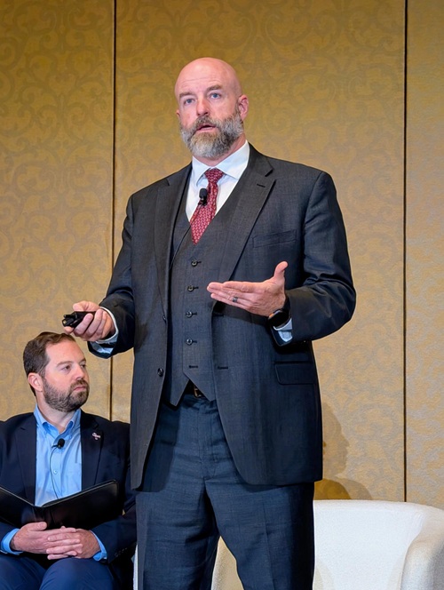
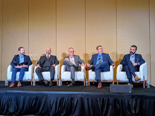
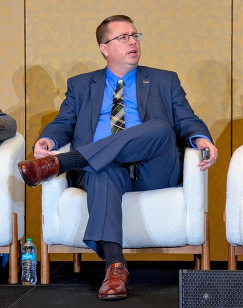
Brian Powers, senior planner for engineering consulting firm RS&H – the session’s sponsor – moderated a panel featuring James Markham, director of the Crash Data & Analysis Section at the Texas Department of Transportation; Jason Siwula, deputy state highway engineer at the Kentucky Transportation Cabinet; Greg Ciparelli, chief data officer for the Connecticut Department of Transportation (CTDOT); and Greg Slay, executive director of the Capital Region Transportation Planning Agency – a Florida-based metropolitan planning organization.
TxDOT’s Markham – a retired U.S. Army major with over 20 years of experience in military intelligence systems analysis – said his agency is pilot testing ways to use cell phone telematics data to map out areas on Texas roadways where there are “close calls” so the agency can reduce the risks of crashes occurring.
“We look at what’s going on with that [telematics] data and how it overlaps with crash data,” he said. “We are able to see what is going on; the where and the why. That allows us to start working on how they are related to the behaviors on the roadway and how we can get after fixing those things. It allows us a ‘deep dive’ into driving behaviors in various areas.”
CTDOT’s Ciparelli noted that his agency, too, is tapping into cell phone data to help improve its ability to identify roadway trends – particularly when it comes to its highway work zone speed enforcement efforts.
“Not only are people traveling slower in [work zones] the data showed they’re actually driving safer and there were a lot fewer near-miss events,” he said. “It is just a really interesting way that we’re using some of the telematics data that’s available to assess these programs.”
Capital Region’s Slay noted that a pilot program started by his agency used cameras powered by artificial intelligence or AI to help better identify risks to vulnerable roads users or VRUs in the Monroe Street corridor bisecting I-10 in Florida.
“It’s primarily a commercial corridor; pretty much the entire length of it. And with a corridor like this, you’re going to get high crash rates at certain intersections,” he said. “We’ve also got a lot of historically disadvantaged populations in that area; a lot of homeless folks in the corridor.”
Slay said this is the first time his agency used temporary cameras to see – over long periods of time – what kind of conditions VRUs faced along that corridor, especially as it related to cyclists and pedestrians.
“My vision cameras were placed at seven locations along the corridor. And rather than having someone sit there and go through hours and hours of data, we used AI to go through the results,” he noted.
Those cameras vastly helped more accurately identify vehicle-VRU conflict points, especially where there are higher rates of homeless populations, and that data helped the agency better determine where countermeasures such as mid-block crosswalks and safer bus stop locations could provide significant safety benefits.
KYTC’s Siwula noted that those initiatives show how state DOTs aim to be more “intentional” with their roadway safety improvement efforts – tapping into new technologies in an ongoing effort to reduce roadway injuries and fatalities.
“We have to think about and take intentional actions. And we need to develop [transportation] projects that are cognizant of these things,” he explained. “It’s really, really important that we think about what types of things we can learn and make actionable decisions based on data – especially in terms of fatal and serious injury crashes relative to vulnerable users.”
Siwula stressed that such data-focused efforts are part of the broader philosophy that each and every time somebody uses the transportation system, they safely get to where they’re going – every trip, every mode, and every time – without harm.
“And so as we talk about all these new data sources, we have to be really careful that we’re using that [data] with the intention to get the [safety] outcomes that we need out of these projects,” he said. “Not only do we want people to get to their destination, we want them to get there safely – every single time.”
Entries Sought for 2026 America’s Transportation Awards
February 27, 2026 Nation