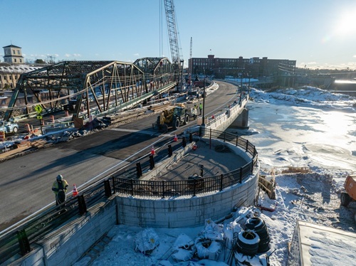
The Iowa Department of Transportation recently highlighted in a blog post how it is using augmented reality to aid in transportation project planning, design, construction, and maintenance efforts.
[Above image by Iowa DOT]
Matt Miller, the agency’s director of emerging technologies, explained in the post that Iowa DOT is continuously collecting data on construction and maintenance projects; creating a “mountain” of data is simply “a bunch of images, documents, and numbers” if it can’t be connected in a meaningful way.
That’s why Miller is working with augmented reality; a tool he said can help “connect the dots” so that the data collected by Iowa DOT can “tell a story” and help mold the future of safe and reliable transportation.
Miller noted that “augmented reality” is defined as an interactive experience that enhances the real world with computer-generated perceptual information.

Using software, apps, and hardware, augmented reality overlays digital content onto real-life environments and objects, he explained. It is similar to virtual reality, but with augmented reality, you see what is real and add elements to it instead of creating an entirely new or “virtual” reality, Miller pointed out.
Using such tools helps Iowa DOT engineers “see” how work on a project is progressing. “With augmented reality, you’re standing there and holding up the iPad or iPhone and seeing what is right in front of you and the model overlaid directly to your specific location,” Miller explained. “That way you can see not only what is there, but what is going to be there when the project is completed.”
He added that augmented reality can also help in the planning phases of a project, too. “If we’re planning a project, we need to know exactly where each item, like a utility pole, is located,” miller noted. “Using augmented reality, our inspectors can mark these elements quickly and easily on a digital image and send that back to the designer, helping that designer develop plans using the most current and relevant data. Having that data stored can make it much easier to make updates in the future.”
Miller also noted that this information is being supplied in real-time. “We use a lot of satellite images, and they are very useful, but they only update every year or so,” he pointed out. “Using the augmented models, we have very current images that we can use until the next round of satellite images are available.”
For more details, visit https://www.transportationmatters.iowadot.gov/.
 States
Louisiana Celebrates Completion of $30M Bridge Project
February 20, 2026 States

