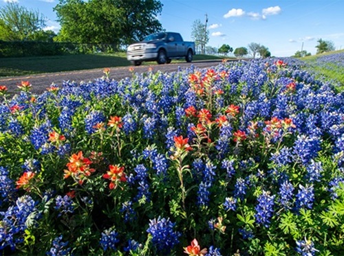
The Texas Department of Transportation recently added a new “wildflower” layer to its Statewide Planning Map so motorists can pinpoint the exact spot where they can not only park to see those flowers but get the best pictures.
[Above photo by TxDOT]
The agency said the addition of the wildflower layer reflects a broader goal: making transportation data not only useful, but engaging – offering Texas residents new ways to experience the roads that connect them.
Elaine Wendt, a TxDOT GIS analyst, worked on this new map layer and said the wildflower locator includes four types of Texas wildflowers: Prairie Verbena, Texas Paintbrush, Indian Blanket, and Bluebonnets.
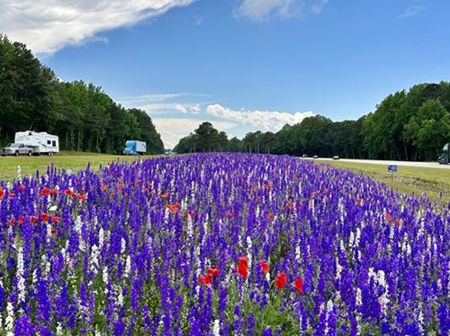
[Editor’s note: In a similar vein, the North Carolina Department of Transportation recently reflected on its nearly 40-year effort to care for roadside wildflower beds; plants that serve a critical pollination role.]
To create the wildflower layer, TxDOT’s map developers wanted to balance technical precision with statewide usability. To help gather the vast amounts of data, the team turned to iNaturalist, a global database of user-submitted and verified species observations.
“Using that data, we were able to map wildflower sightings across Texas dating back more than a decade,” said Tom Neville, another TxDOT GIS analyst, in a statement. “The dataset was eventually refined, and a heat map was created to show concentrations of wildflower activity across the state.”
He added that this planning map is one of TxDOT’s most widely used digital tools and is designed to bring both data and discovery to users across the state.
Now celebrating its 20th anniversary, the Statewide Planning Map has evolved far beyond its original purpose as a planning resource into a robust, interactive platform used daily by engineers, planners, and agency partners to design, build, and maintain the state’s vast transportation system.
At the same time, the map has become increasingly accessible to the public, offering layers that highlight everything from live traffic conditions to stargazing spots and scenic destinations.
The newly added wildflower layer is part of a broader rollout of themed overlays and basemaps planned through 2026 to commemorate the map’s two-decade anniversary.
Recent additions have included a barbecue-themed layer featuring top-ranked Texas smokehouses and a seasonal Thanksgiving map, underscoring the agency’s effort to blend functionality with cultural and recreational interest.
TxDOT noted that other map layers are in the works, including some new summer themes they hope to roll out in the coming months.
 States
Governor Little Names Gonzalez as ITD Director
July 10, 2026 States