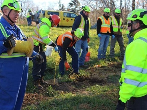
A University of Arkansas geotechnical engineer is collaborating with the Arkansas Department of Transportation to map subsurface conditions before road construction begins to identify issues early and help keep highway construction projects on track and on budget.
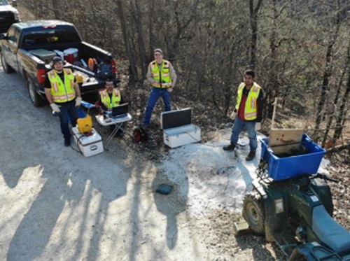
[Pictured in above photo: Clint Wood, center right, and civil engineering graduate students Landon Woodfield, left, Salman Rahimi, center left, and Ashraf Himel, right. Photo by Clint Wood.]
Clint Wood, a civil engineering associate professor and geotechnical engineer with the university, is creating profiles of subsurface conditions and soil composition for the Arkansas DOT by sending stress waves into the ground and measuring their response at the surface.
The university noted in a blog post that this work focuses on estimating the depth and stiffness of bedrock for new highway alignments and understanding subsurface conditions that cause slope instability.
That is especially important for understanding how water moves through a slope, as unexpected changes in bedrock depth near slopes can create “pockets” where water collects, which can cause road instability.
The university said this non-invasive technology – similar in function to how ultrasound imaging works on the human body – provides important information for highway designers and construction contractors.
Wood is also conducting a separate study to gauge the accuracy of light detection and ranging or “LIDAR” sensors on unmanned aerial systems, or drones, to penetrate “vegetated areas” around roadways and bridges to help develop topographical models, which provide useful information for small-area projects such as bridge replacements.
Wood’s team is working with the Arkansas DOT’s survey division to identify four bridge projects to serve as test sites. After collecting and processing LIDAR survey data, the researchers will compare terrain models developed with aerial drone LIDAR to models developed by using conventional, photogrammetric surveying methods.
 States
NCDOT Staff Participate in ‘Explosive’ Technical Training
December 19, 2025 States

