
The Maryland State Highway Administration (SHA) – a division of the Maryland Department of Transportation – recently launched a new web portal to support its “context driven” guide, which aims to improve mobility, safety and multi-modal access for statewide communities.
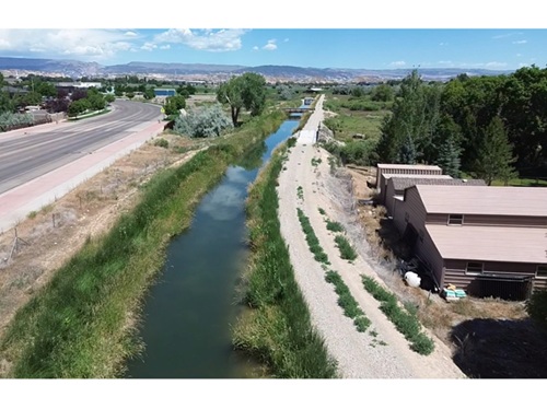
[Above photo by the Maryland SHA.]
The agency said its new Context Driven: Access & Mobility for All Users web portal provides access to the “1.0” version of the guide, as well as a project map and other features.

“The context driven guide is an invaluable resource in making our communities safer, more accessible and more livable for everyone – transit users, motorists, bicyclists, pedestrians and those with mobility challenges,” explained Greg Slater, secretary of the Maryland DOT, in a statement.
“As we work with local partners to design and implement a statewide transportation network that’s shared by all, we must – as the title suggests – consider the context of each community and its needs,” he added.
Since 2019, Maryland DOT SHA has implemented more than 200 projects that consider the “context” of an area summarized in six categories: urban core, urban center, traditional town center, suburban activity center, suburban area or rural area.

The guide seeks to encourage flexibility and innovation to develop low-cost, high-impact solutions for each unique area within the state, the Maryland DOT added – deploying measures such as speed limit reductions, protected bike lanes, high-visibility crosswalks, signal timing adjustments or a host of other strategies.
The new 1.0 version of the guide on the agency’s web portal includes minor clarifications from the earlier “draft” document, but the central priority remains the same: to identify solutions for areas in Maryland that balance vehicular and pedestrian traffic and reduce the likelihood and severity of crashes involving pedestrians.
The guide’s new web portal also includes a statewide progress project map the public can access for in-depth details about them.
The agency said it does not intend this guide to serve as a “strict manual” for Maryland DOT staff to follow; rather, both agency staff and local community members should use it to “better understand opportunities and improvements” based on the characteristics of the surrounding environment.

The guide also incorporates a “vision zero” philosophy – with its “ultimate goal” of achieving zero highway deaths – into its decision-making process as well, using “proven methods and data-driven systems,” the agency noted.
“If we’re working in an urban core with roadways and transit connections shared by buses, motorists, cyclists and pedestrians, we know there are solutions and strategies that can help us improve access, safety and flow,” Maryland DOT’s Slater said.
“The same is true for town centers, suburban activity centers and even rural areas,” he added. “We hope the new web portal will give residents across Maryland a look at how the guide helps us make choices for each location – sometimes a combination of them – to expand options and help the network function better and more safely for everyone.”
 States